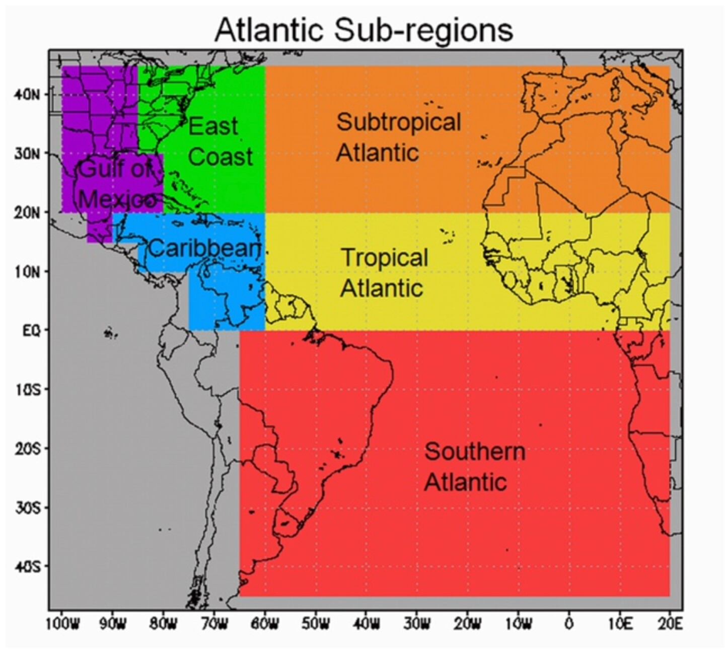
The storms that form near the small island country of Cabo Verde – roughly 400 miles west of Africa – and grow into hurricanes before reaching the Caribbean gain a special designation from hurricane forecasters. Cabo Verde Hurricanes don’t form often, but their long tracks through the Atlantic allow them to strengthen into some of the most powerful and destructive hurricanes. The Great 1928 Lake Okeechobee or San Felipe Segundo Hurricane, which killed an estimated 3,000 people, was a Cabo Verde Hurricane. So was the Great 1938 Long Island Express New England Hurricane, Hurricane Donna in 1960, Hurricane Hugo in 1989, and Hurricane Irma in 2017.
The origin of Cabo Verde Hurricanes – called Cape Verde Hurricanes until the island nation changed its English name in 2013 – dates back to the early 20th century when hurricanes developed in the far eastern Atlantic outside the bounds of early weather charts. Forecasters began calling these storms “Cape Verde Hurricanes.”
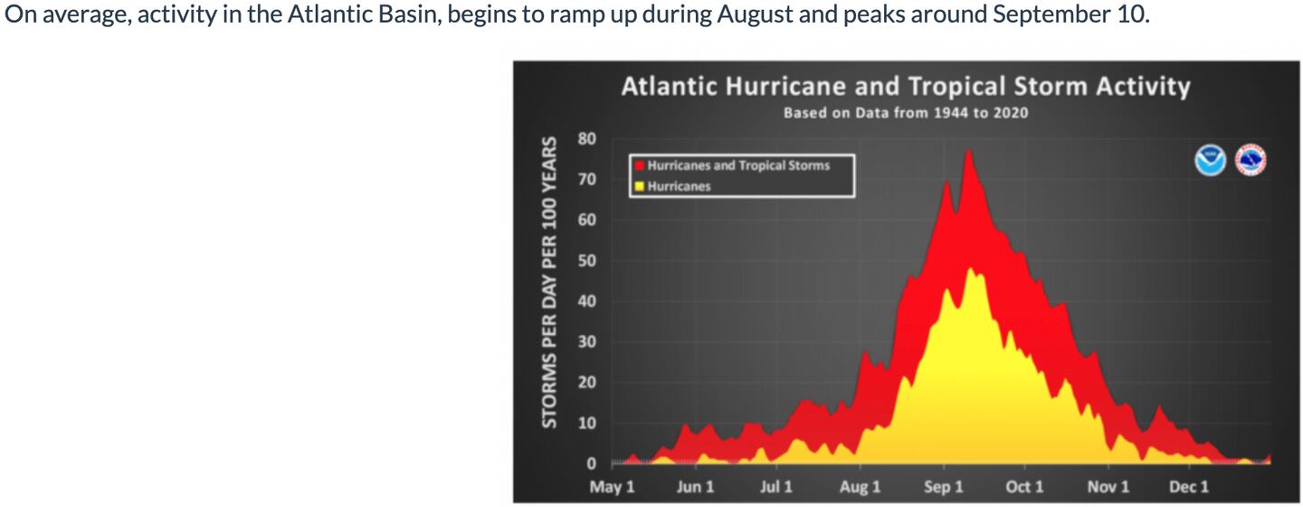
This type forms within 600 miles of the Cabo Verde Islands and become hurricanes prior to reaching the Caribbean. Fewer than 70 hurricanes of the 948 Atlantic hurricanes on record since 1851 meet these criteria – or fewer than one in ten hurricanes. These monsters are observed only about once every one to two years and most form in August or September.
IF they don’t curve out to sea they tend to move toward Puerto Rico, the U.S. Virgin Islands, and the mainland Atlantic coastline, though occasionally they make it to the Gulf of Mexico.
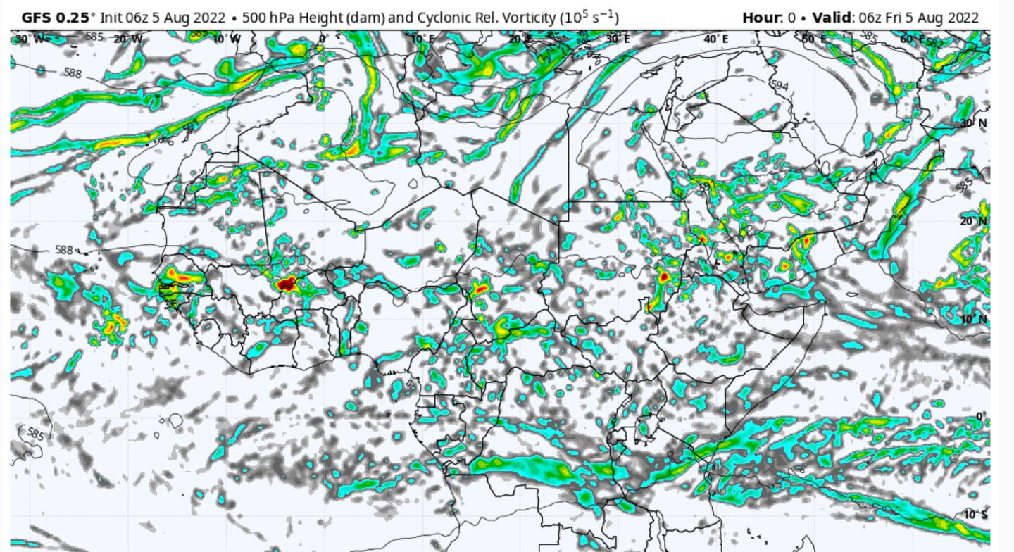
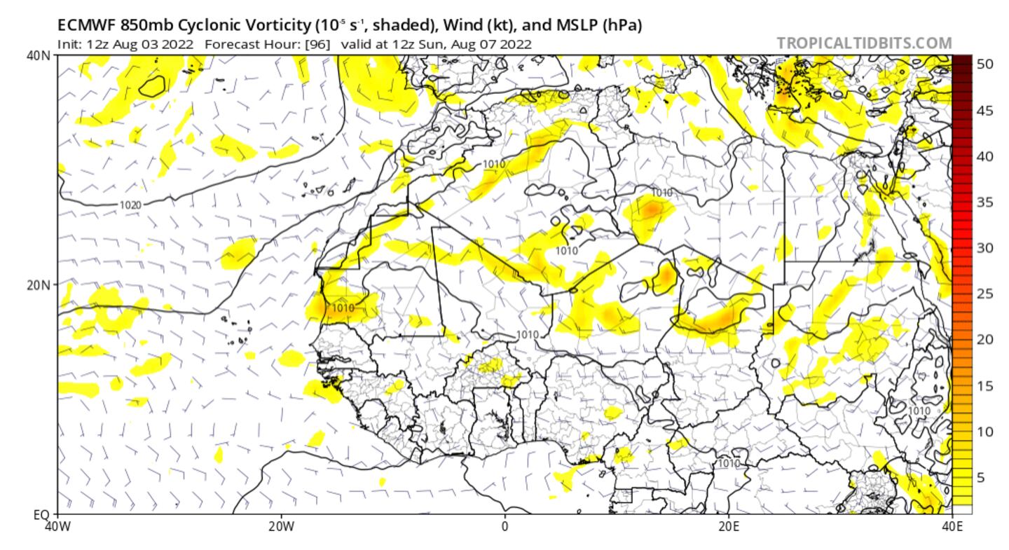
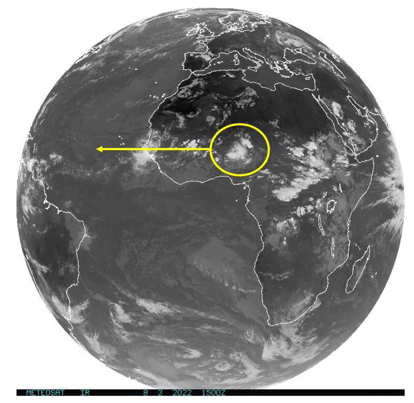
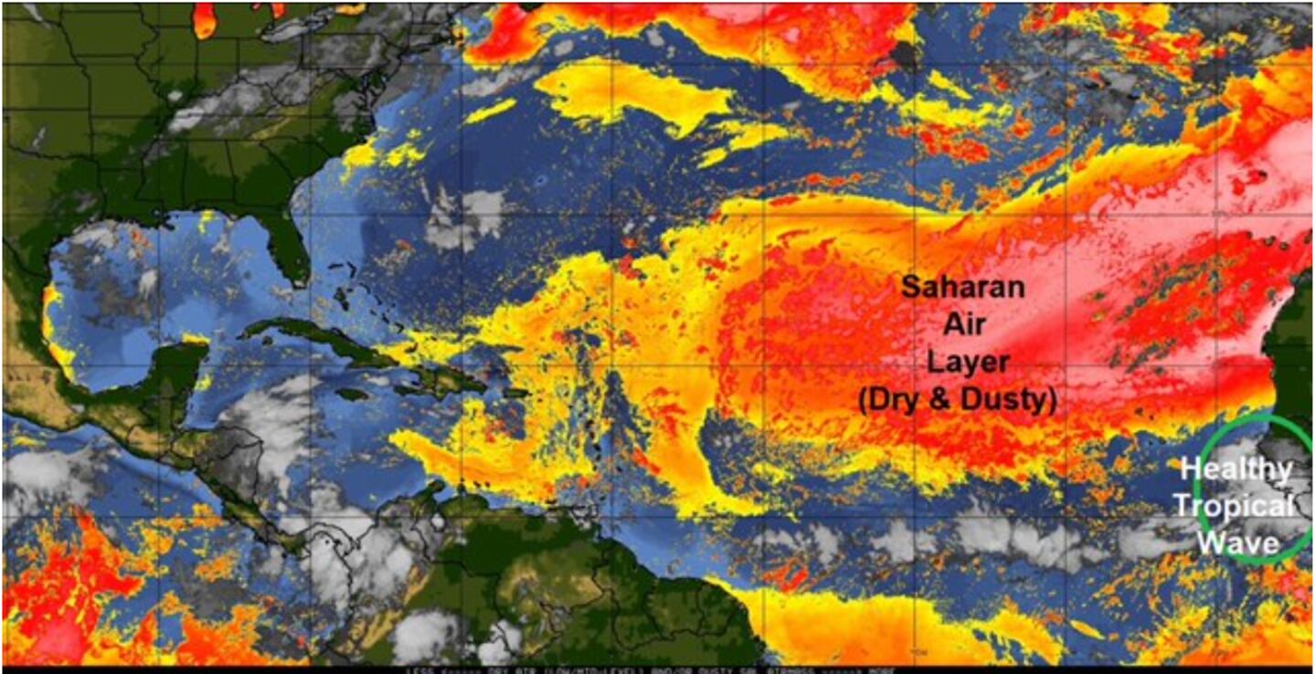
It’s getting to be the time of year when the African wave train picks up steam, and these tropical waves – large ripples in winds 5,000 to 10,000 feet up resembling ocean waves – often serve as kindle for powerful hurricanes. Big storms originate from this region of Africa and just off the coast, even though most form elsewhere in the Atlantic or Caribbean/Gulf.
It’s ironic that some of the “seeds” for tropical storms or hurricanes come from the desert regions of North Africa.
They can form a conga line of disturbances lined up over Africa that roll into the tropical Atlantic. (seen as blobs of yellow/orange/red on maps below).
For more weather info follow me on Twitter @MellishMeterWSB.
©2022 Cox Media Group


