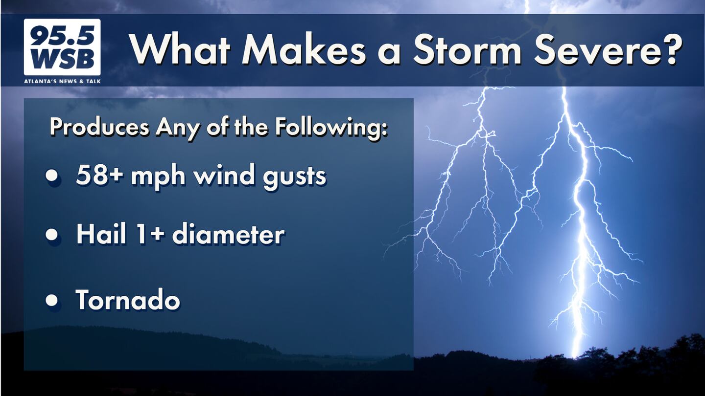
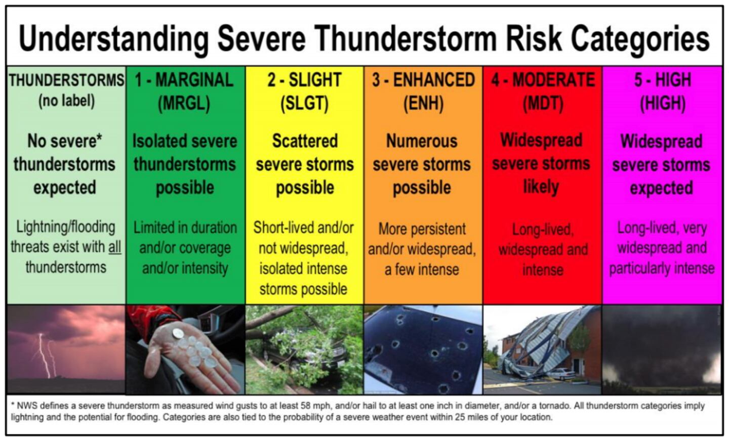
A strong storm system is moving through the Midwest into the Tennessee Valley today, eventually pushing severe storms through the Midsouth region into the Southeast through Thursday.
A Mesoscale Convective System -- which I will call a “thunderstorm complex” -- will move through the Midsouth today and continue into the Southeast Thursday morning.
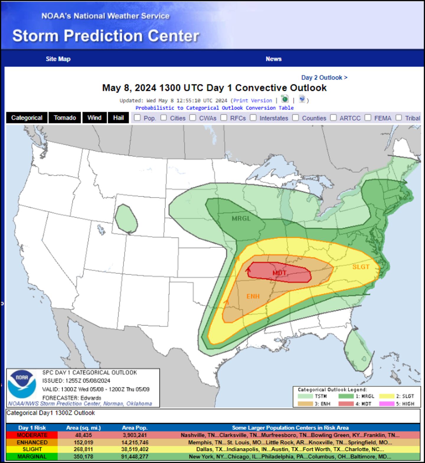
Below is the Storm Prediction Center’s Convective Outlook for today (Wednesday).
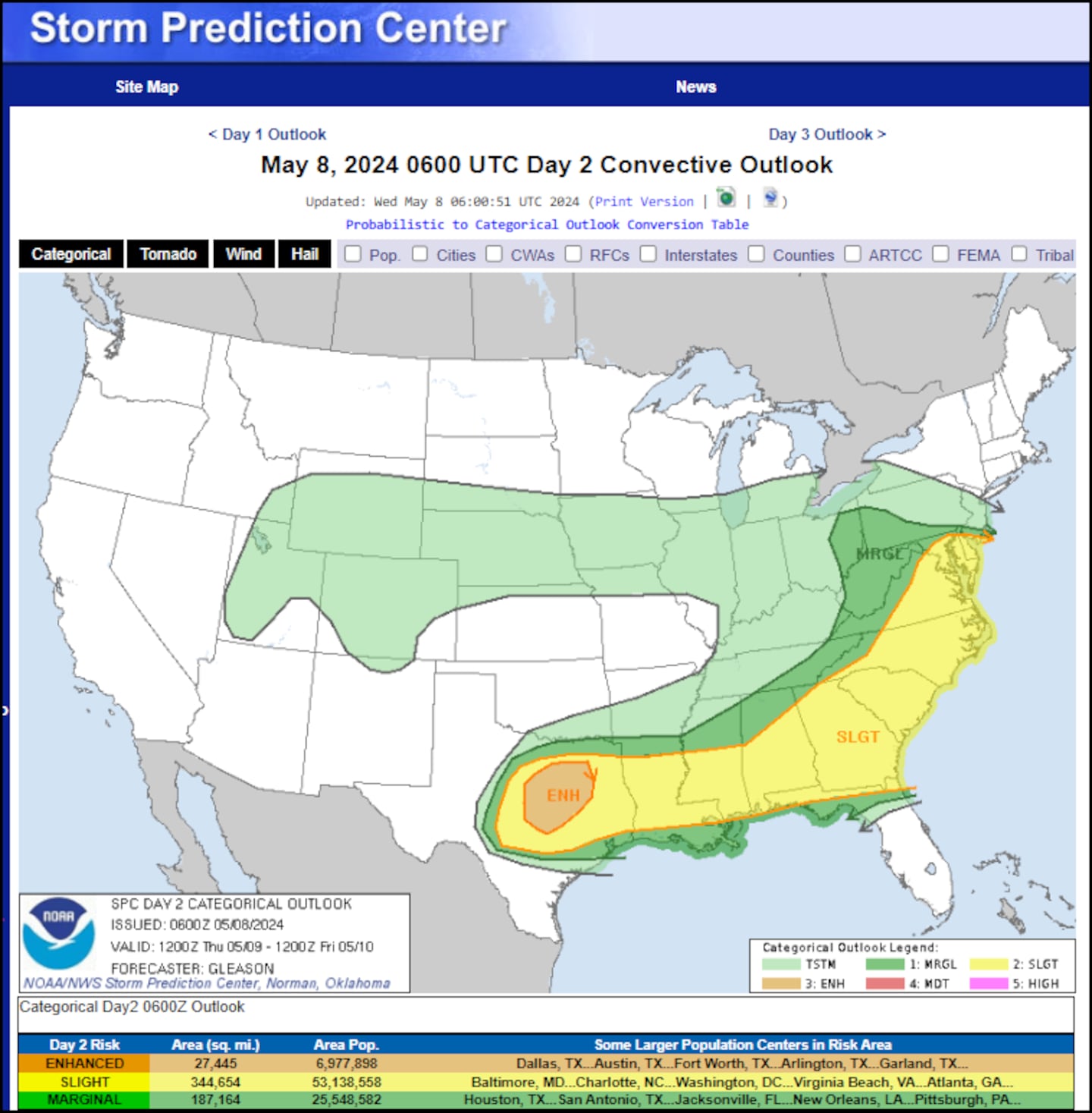
Below is the Storm Prediction Center’s Convective Outlook for tomorrow (Thursday).
Timing Out the Storms: Late Wednesday through Thursday Afternoon
A cold front associated with this “storm complex” will push a line of heavy rain and thunderstorms through North Georgia after midnight into early Thursday morning, and the line of storms will sweep through Metro Atlanta between 11pm and 11am Thursday.
Below is the Southeast view of the Futurecast Radar Imagery of the “storm complex” as it moves from Tennessee into North Georgia. The “z” stands for Zulu, and Atlanta’s time is currently 4 hours behind Zulu time.
Storms within the complex will be capable of producing damaging wind gusts as high as 60 mph or greater, and a brief tornado cannot be ruled out for the Metro Atlanta area. Below is the Futurecast Hour-by-Hour Radar Imagery for Metro Atlanta and North Georgia.
It is important to remember that a storm complex like this can evolve in real time, so be sure to check back with 95.5 WSB for updated forecast information.
I will also track the storms as they move through Metro Atlanta live on 95.5 WSB.
Be sure to charge all cellphones and tablets tonight -- in the event of a power outage, you can stream our coverage live on the WSB Radio App.
Share Your Storm Reports With Me!
Facebook: Christina Edwards WSB
Instagram: ChristinaWSBwx
Twitter: @ChristinaWSBwx
TikTok: @ChristinaEdwards955WSB
©2023 Cox Media Group


