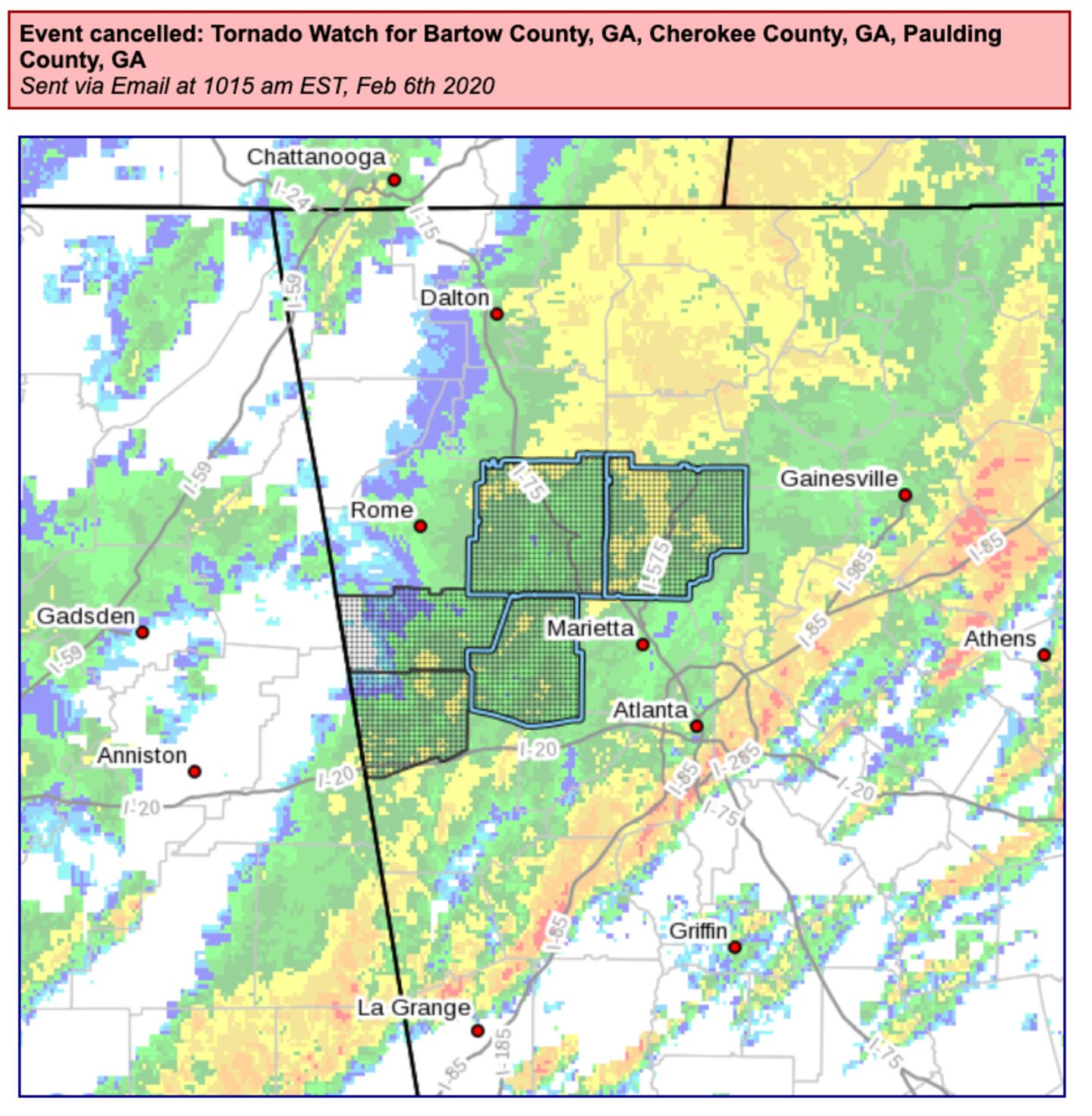
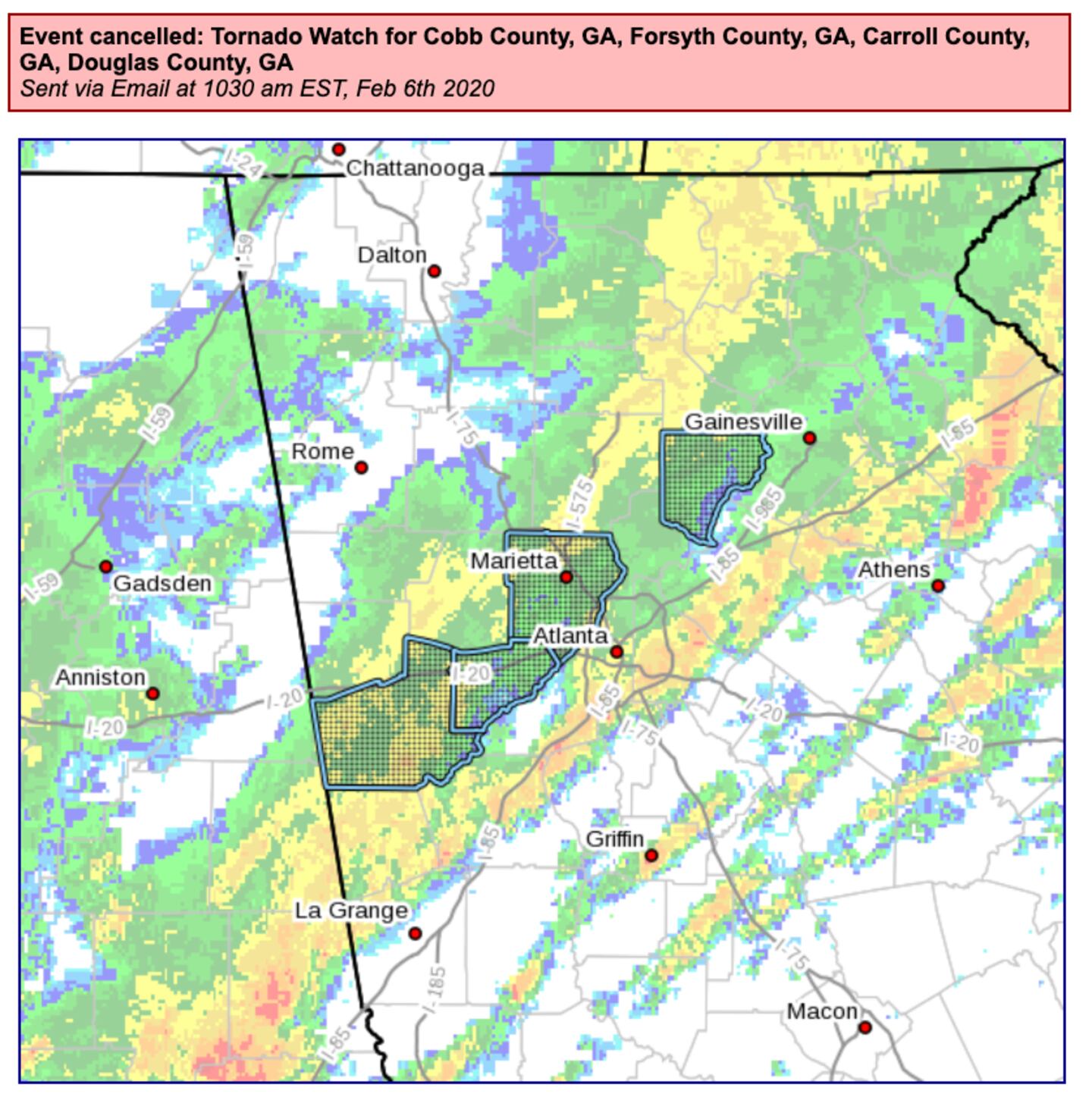
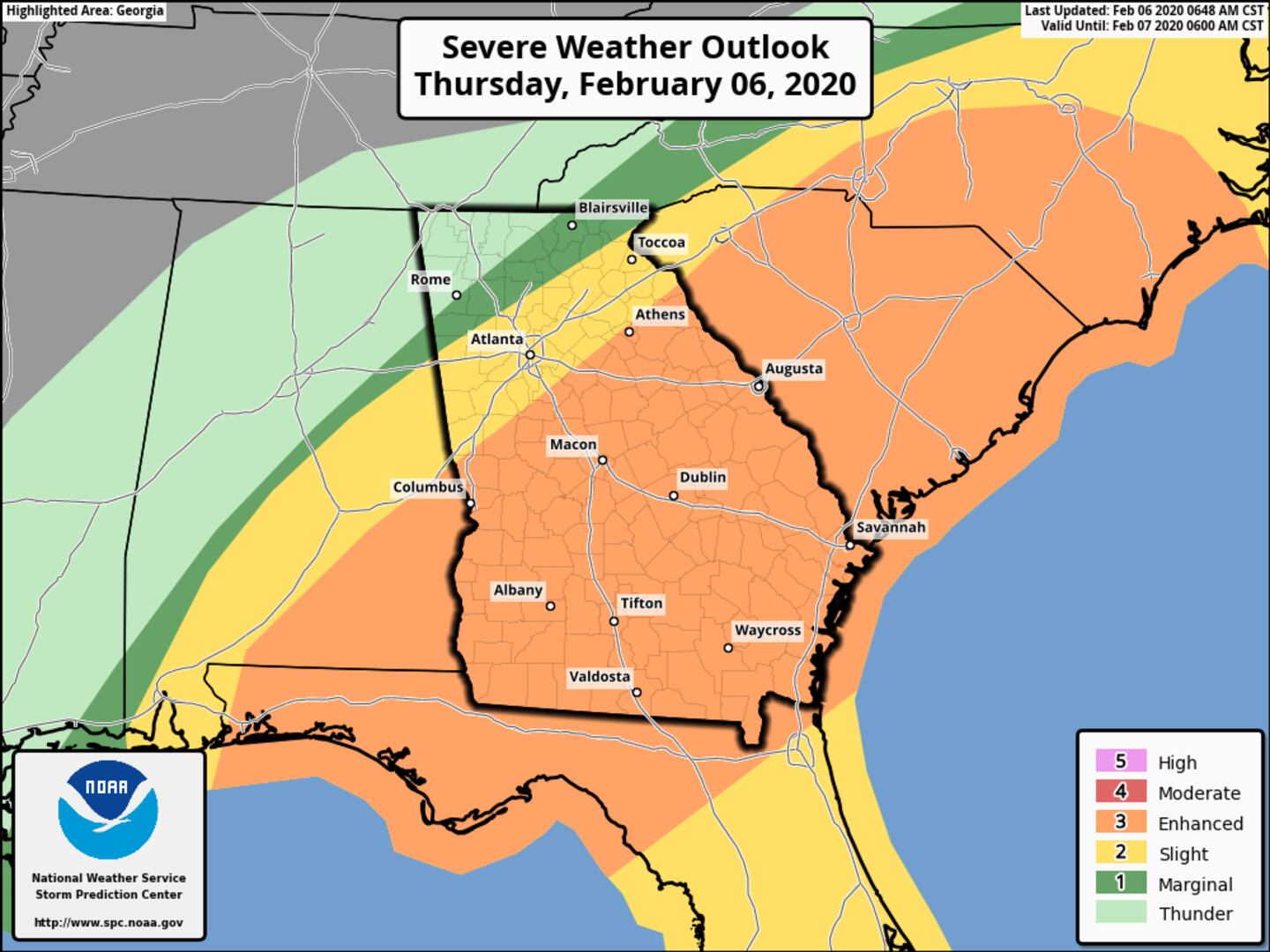
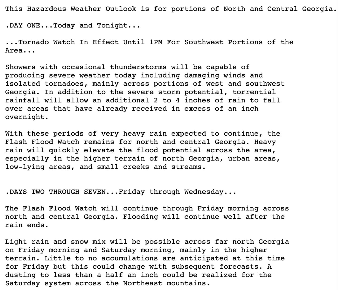
Periods of heavy rain and thunderstorms, some storms may contain damaging winds with dangerous lightning, especially East and South of the perimeter.
THE TORNADO WATCH HAS BEEN CANCELED IN THESE AREAS:
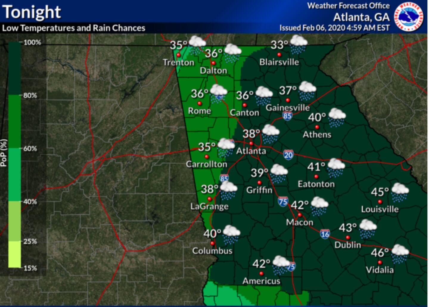
Rain will be in the area for the next rush hour but less intense for the PM drive time.
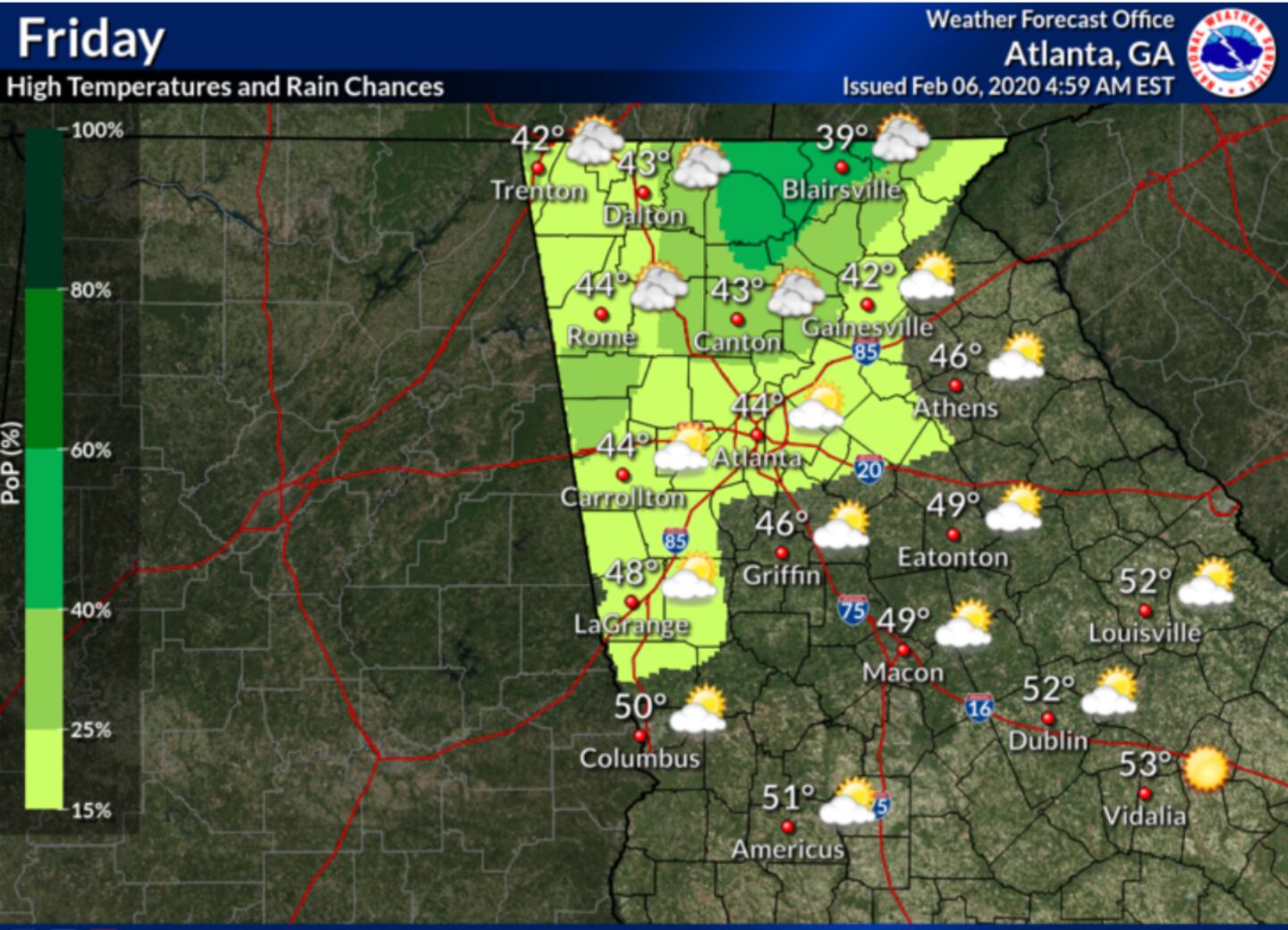
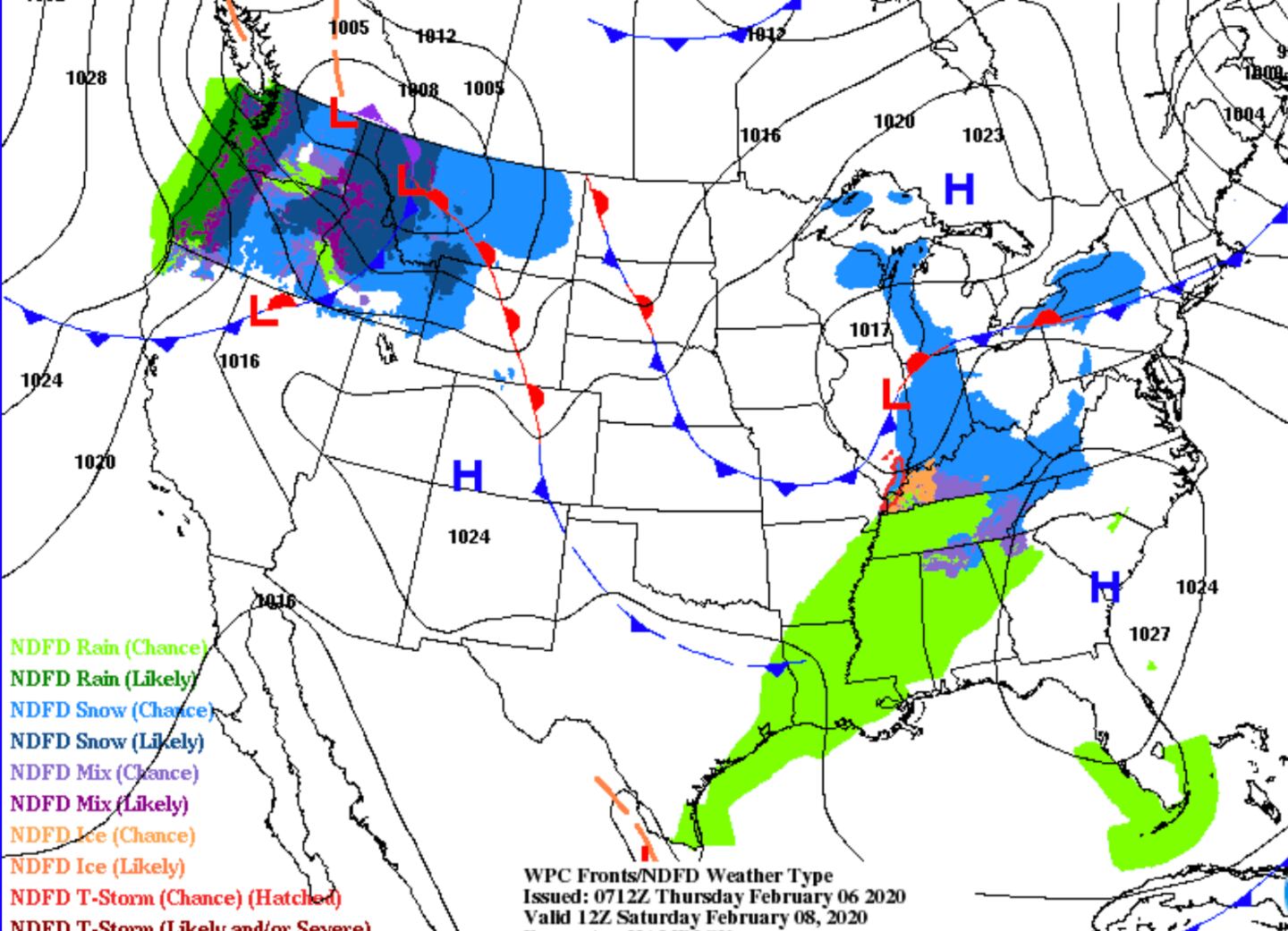
Cold air brings a risk of some light snow to the Georgia mountains by Friday morning and again Saturday morning. A few flurries not out of the question in Metro Atlanta early Friday morning as well but no accumulation and most of us will not see any.
SEVERE WEATHER OUTLOOK:
FRIDAY MORNING SURFACE CHART:
SATURDAY MORNING SURFACE CHART:
For more follow me on Twitter @MellishMeterWSB.


