In June 2024, a number of earthquakes shook the northeast corner of Metro Atlanta, including the Buford and Lake Lanier region of Gwinnett and Hall counties.
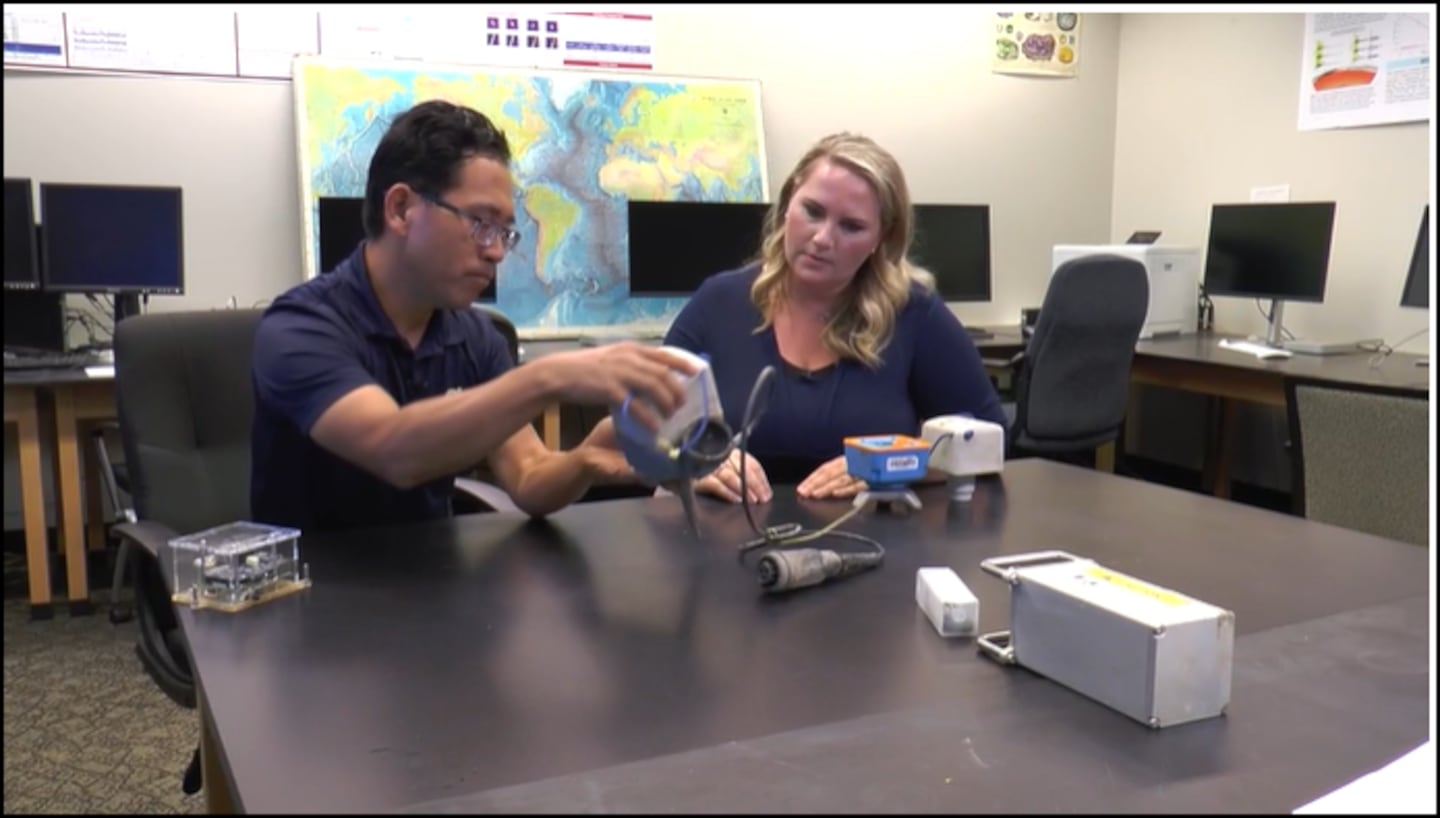
I sat down with Dr. Zhigang Peng, Professor of Geosciences at Georgia Tech, to learn more about the seismic equipment used in their scientific studies throughout Gwinnett and Hall counties since June.
Q: What do we have here?
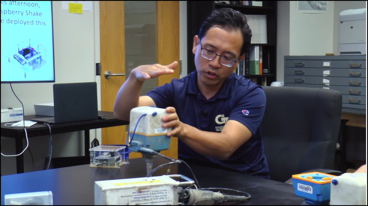
“We have two types of seismic sensors. The first one is what we call a “direct barrier”, and this is a device called ‘seismic node.’”
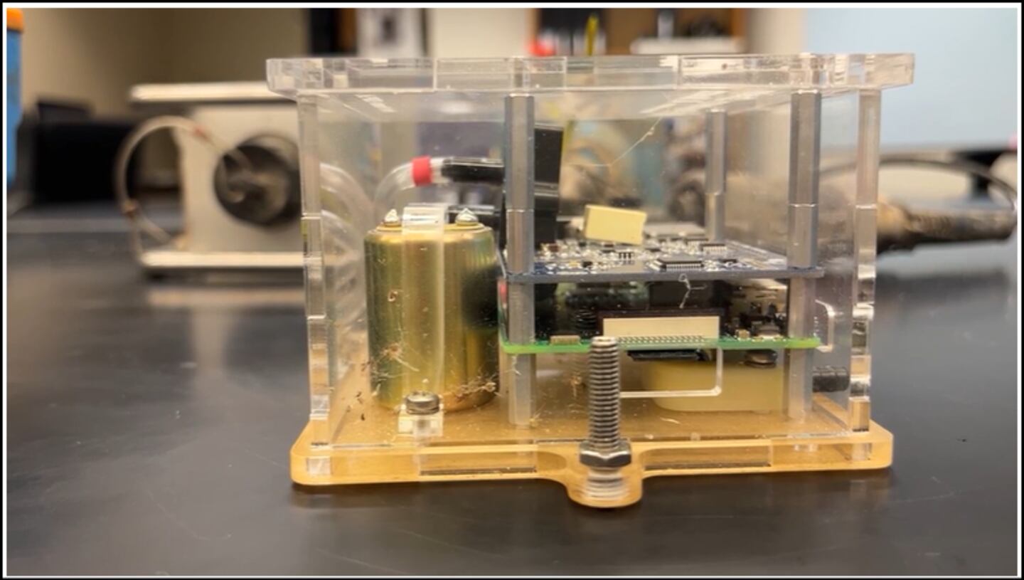
“It has two components -- you can take them apart and the top head has three seismic sensors that is oriented in the vertical and two horizontal directions.”
“In addition to that, it also has internal GPS clock and it has an internal memory card where all of the data is being recorded there.”
“So we dig a hole that is about one foot deep. We poke this into the dirt -- the base here is a battery which will last about 15 days. Sometimes, we want to record a little bit longer, so we will be hooking up this with another external battery. With both batteries, it can last roughly 3 to 4 months.”
“What we are hoping to do is to let the sensor sit there as long as we can. Perhaps after summer, we will go dig them out and we can read the data recorded by this device. And that is when we can start to understand what is going on.”
Q: This whole device is 12 inches, or one foot in the ground, so this is not sticking out -- someone is not going to trip on it.
“We definitely need to bury them in the ground, obviously for safety. We don’t want people to pick them up. We also don’t want them to be in the way, because sometimes we put them in people’s backyard, or places where there is a lawnmower, anything that can go over it.”
“But we want to bury them because it will have better coupling to the ground. Obviously, we want to record ground motion -- we don’t want to record airplanes or anything like activities -- although it will pick it up anyway.”
“But the deeper you go, then the better coupling it is. But there is a trade off. We can’t bury them too deep -- first of all, we can’t find them, and secondly, we need to see GPS, which is for timing.”
“So you can probably bury the dirt up to this much but you can still see the GPS.”
Q: What equipment do we have here?
“This is what we call a Raspberry Shaking Boot -- in a nutshell, it is basically a small computer -- a Raspberry Pi.”
“In addition, it also has a geo-phone, it can shake and hear clapping -- this can record the vertical ground motion, the seismic shaking.”
“It also has a tube here that is connecting to the air. This will pick up air pressure changes -- this will be recorded as infrasound.”
“And hopefully, once this get set up -- because it has ethernet cable, it can connect to the internet and we can use this as a real-time monitoring of what is going on.”
Talk Up a Storm With Me!
Facebook: Christina Edwards WSB
Instagram: ChristinaWSBwx
Twitter: @ChristinaWSBwx
TikTok: @ChristinaEdwards955WSB
©2024 Cox Media Group


 Sign Up


