Severe thunderstorms are in the forecast for the Deep South today, and the storm system will roll into Metro Atlanta later this afternoon.
Track the storms via the Interactive Radar below. I will also provide updates throughout the afternoon on 95.5 WSB.
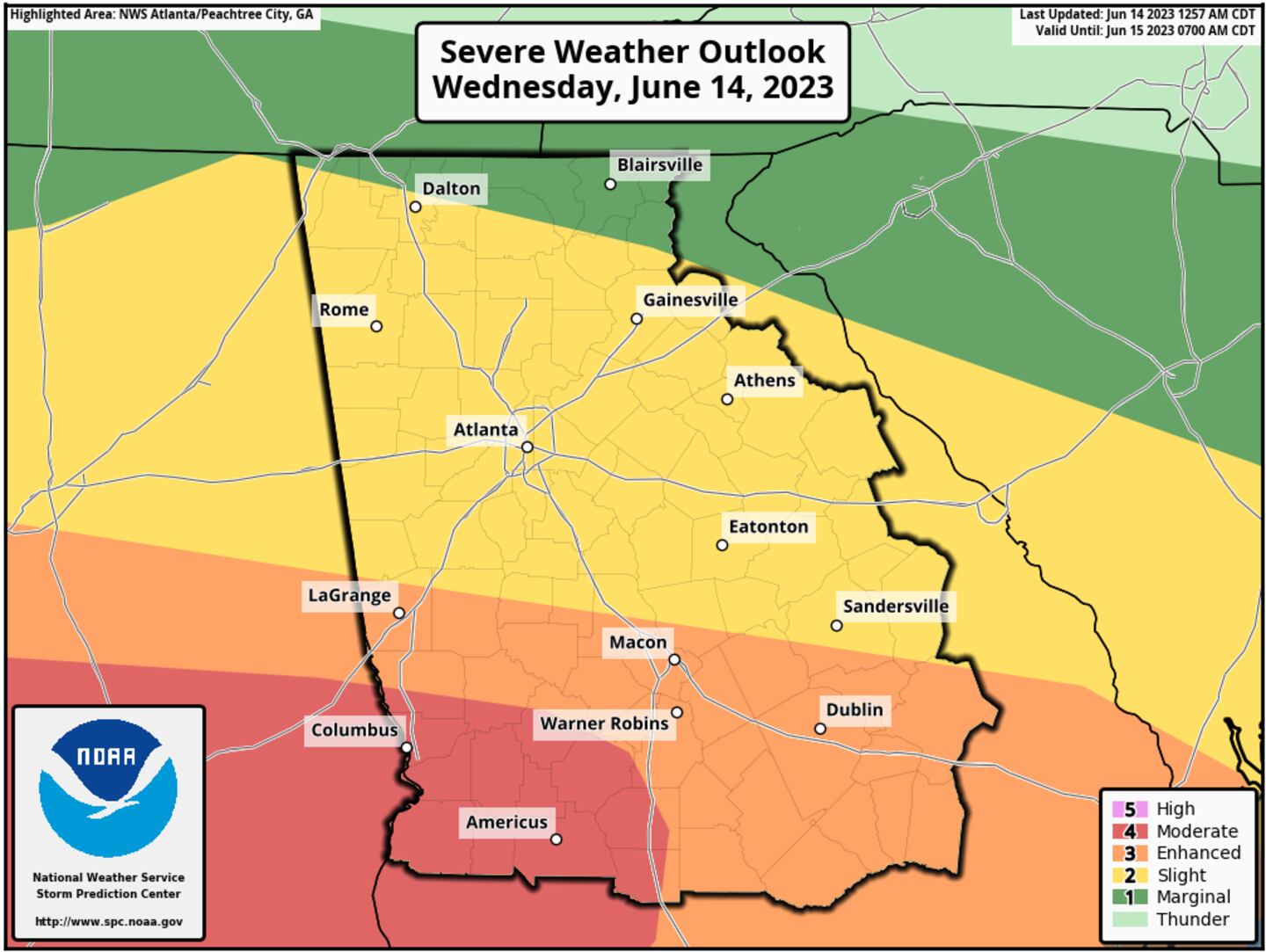
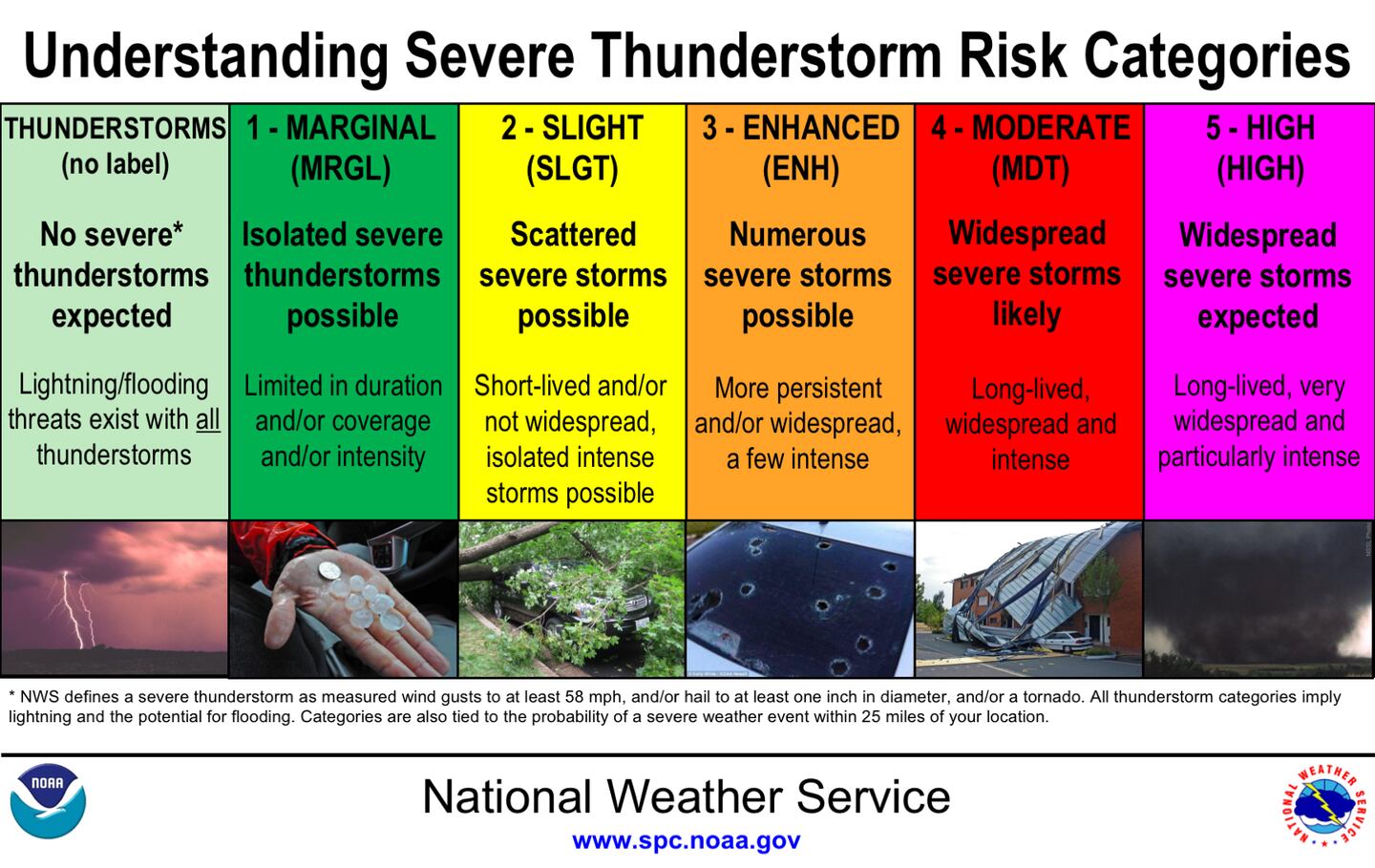
The Storm Prediction Center has outlined a “Slight Risk” for scattered severe storms in Metro Atlanta, which means they will be short-lived and isolated, but potentially intense with damaging winds the main impact.
A greater threat for severe storms exists in central and south Georgia, where an “Enhanced” and “Moderate Risk” for severe storms are possible from Columbus to Macon.
Warm and humid air will be in place over North Georgia, which is favorable for thunderstorms to develop. In south-central Georgia, a stalled frontal boundary will provide the focal point for storms develop.
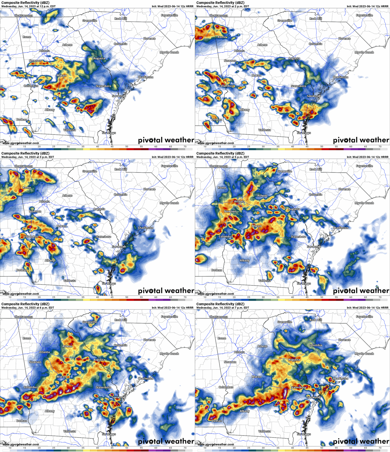
For Metro Atlanta, a few showers may be present through the early afternoon, but potentially strong storms will move through the Atlanta area between 3pm and 6pm. The animation below illustrates the potential Futurecast radar during the afternoon and evening hours.
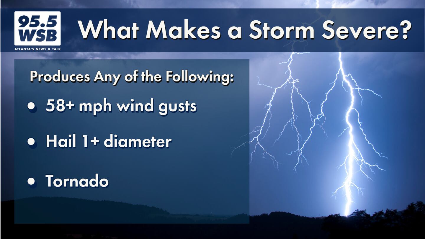
In addition to heavy rain and frequent lightning, some storms may be strong to severe, producing damaging wind gusts that could knock down trees and powerlines. Hail as large as 1″ in diameter may occur as well.
Hail may be an issue later this PM. If you experience hail, stay safe indoors! Once the storm passes, please report your location and hail size by comparing the hail to a similar sized object. This infographic from @NWSCheyenne shows a few common hailstone sizes. #ATLwx #GAwx pic.twitter.com/3ijrBAAX5h
— Christina Edwards (@ChristinaWSBwx) June 14, 2023
— NWS Atlanta (@NWSAtlanta) June 14, 2023
Continue to monitor the weather this afternoon into this evening via 95.5 WSB.
Share Your Storm Reports with Me!
Facebook: Christina Edwards WSB
Twitter: @ChristinaWSBwx
©2022 Cox Media Group


