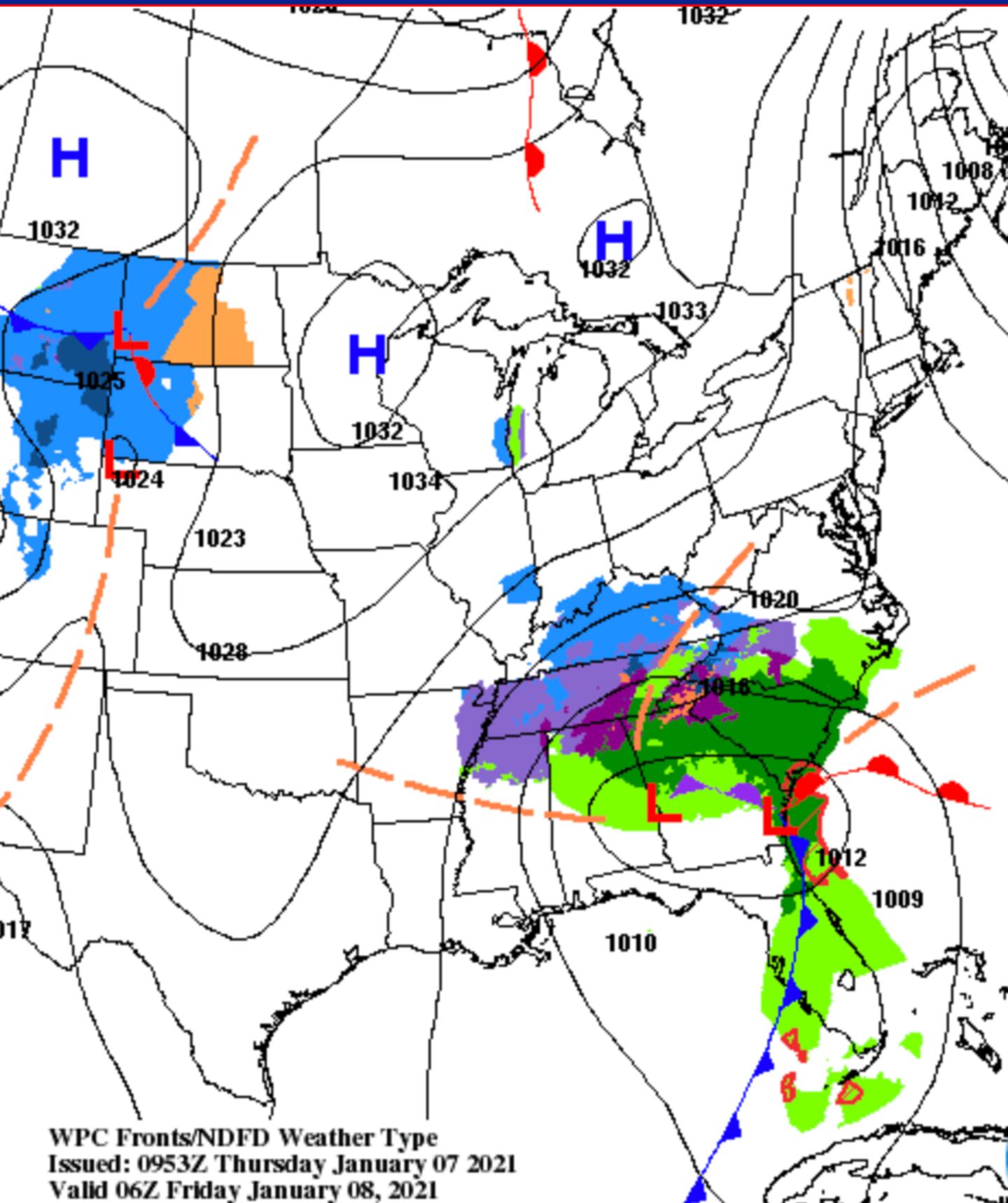
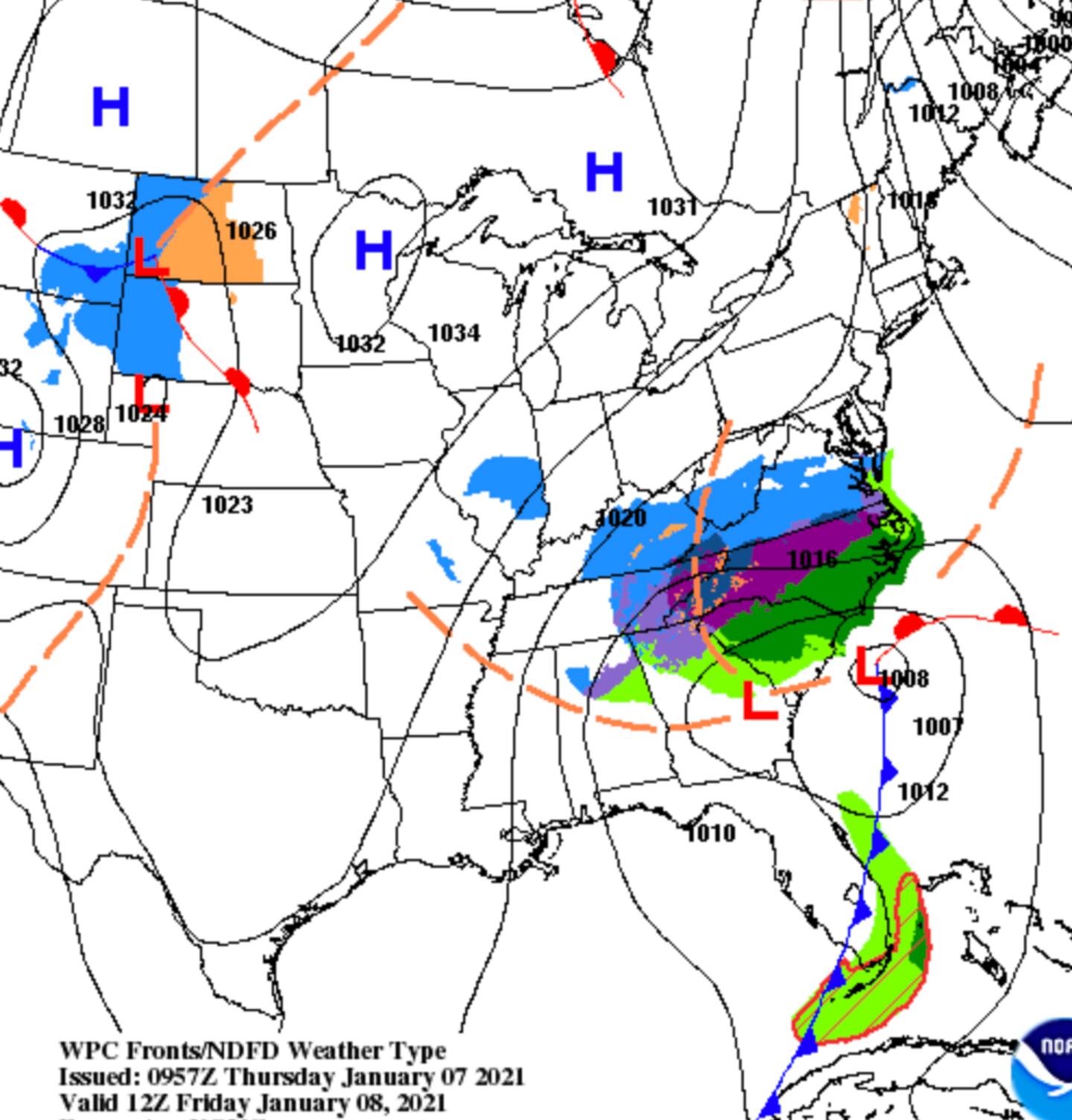
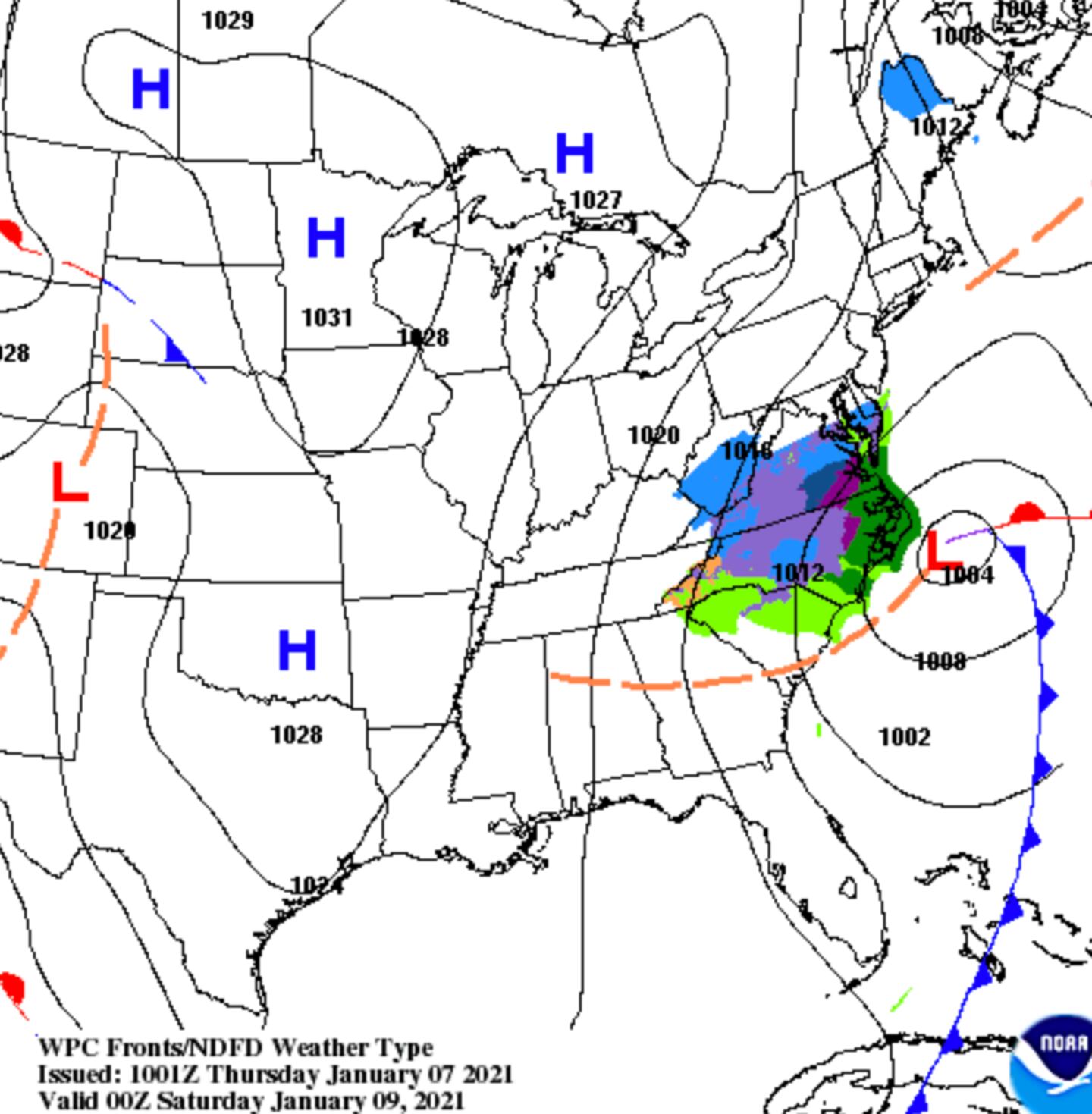
It still looks like the predominant precipitation type will be rain for Metro Atlanta. Very early tomorrow morning there may be some flurries or sleet mixing in for some spots North of I-20 but not everywhere. As of now at least, little or no accumulation expected for the Atlanta area. The transition to a mix begins well after midnight tonight.
As described in the previous posts this type of upper level closed low pressure system is not handled well by the models so we need to monitor it for any last minute surprises just in case.
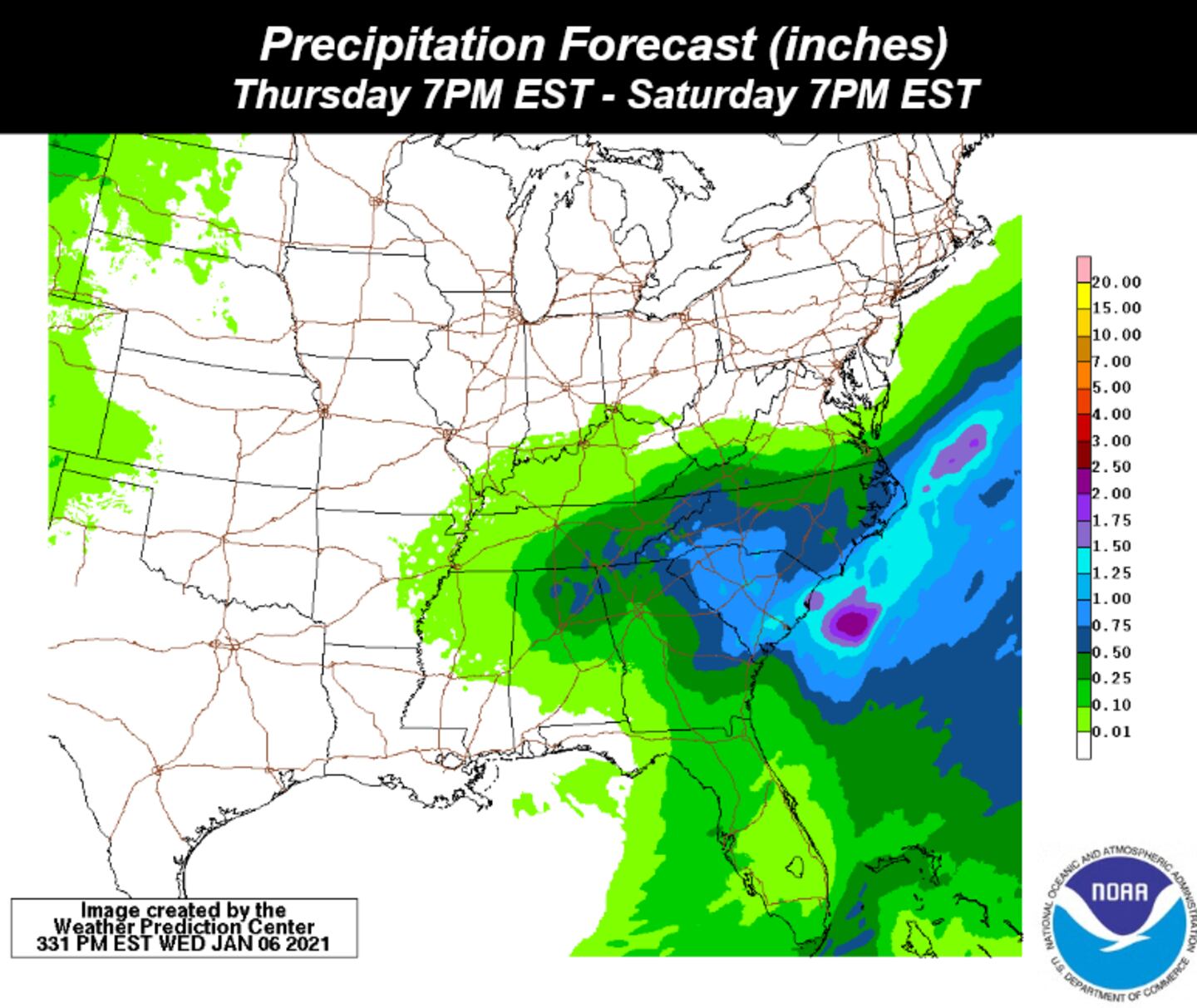
Rainfall amounts .25-.50 on average the next 36 hours. Chance of rain goes up today after 3pm give or take a couple hours.
Scattered light rain showers and any spotty sleet or flurries ending tomorrow morning between 8 and 11.
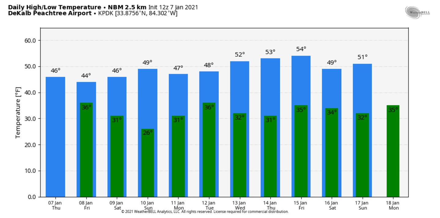
Temperatures remain below-normal through Monday.
There is another system we are keeping an eye on next week.
LATE AFTERNOON AND TONIGHT:
FRIDAY MORNING:
FORECAST SURFACE CHART 7PM FRIDAY:
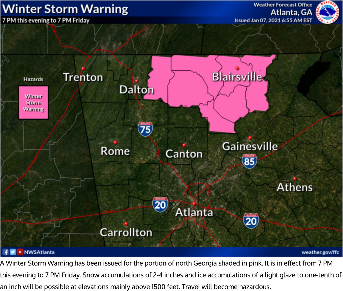
WINTER STORM WARNING 7PM TODAY TO 7AM FRIDAY IN PINK:
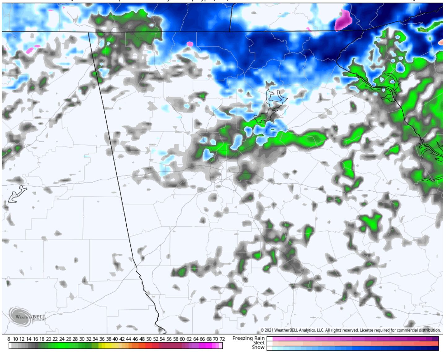
MODEL SIMULATED RADAR 7AM FRIDAY:
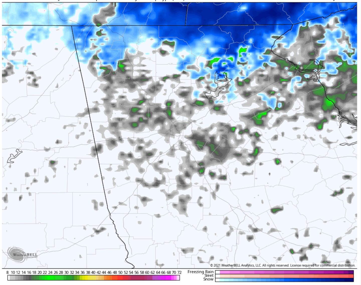
MODEL SIMULATED RADAR 10AM FRIDAY:
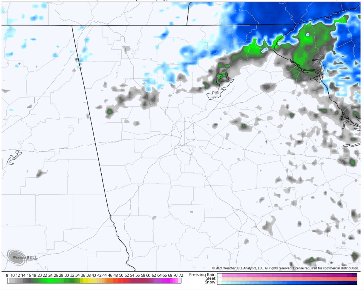
MODEL SIMULATED RADAR 1pm FRIDAY:
For daily weather info follow me on Twitter @MellishMeterWSB.
Cox Media Group


