There really is not much new to say that I haven't covered in blog posts since Monday. Read them if you haven't already or review them if you need to do so. Here.
As usual it looks like it will be worse to our West than here. But it only takes one as they say.
At this point we’re really just in the monitoring radar stage, the forecasts have all been made prior. Now we monitor.
As always there are models that show worse things and models that show not much happens. There are always, always contradictory indicators in the data, that’s what makes prediction so hard.
Lots of news-making weather already Sunday late afternoon in Mississippi and heading North and East.
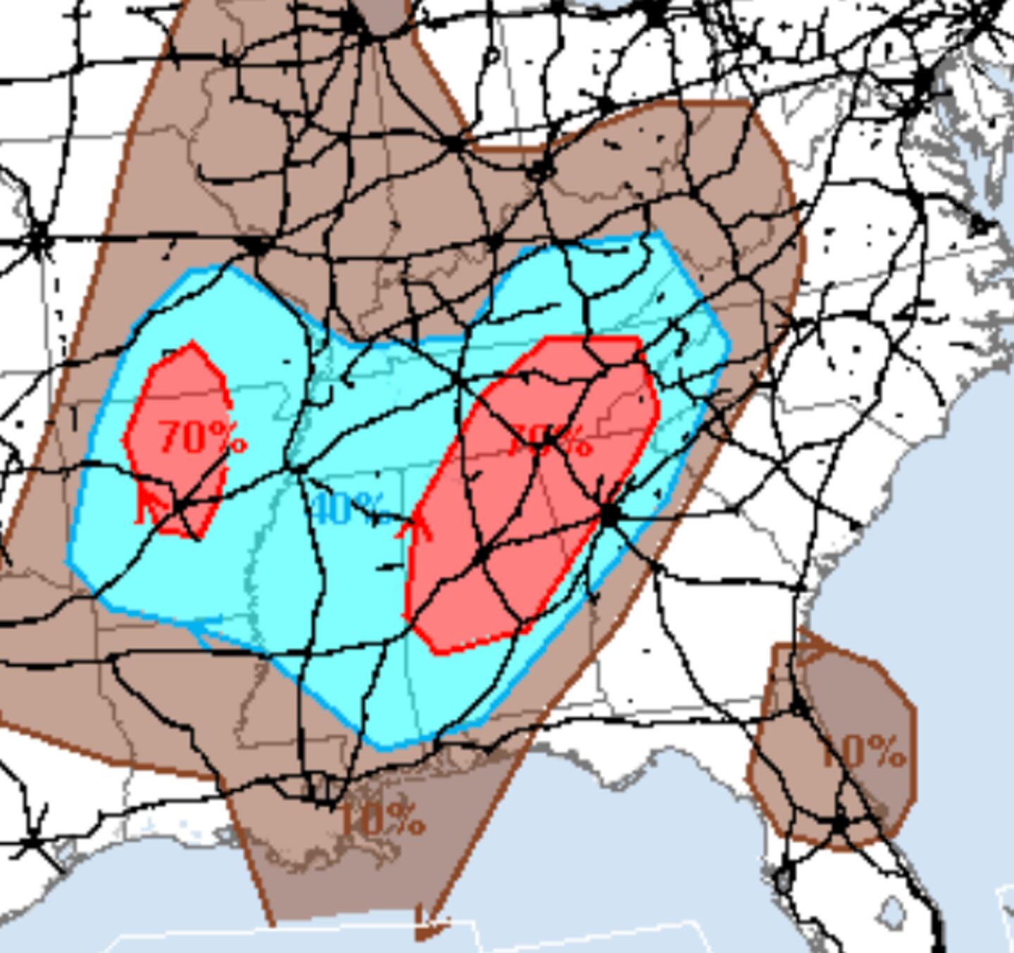
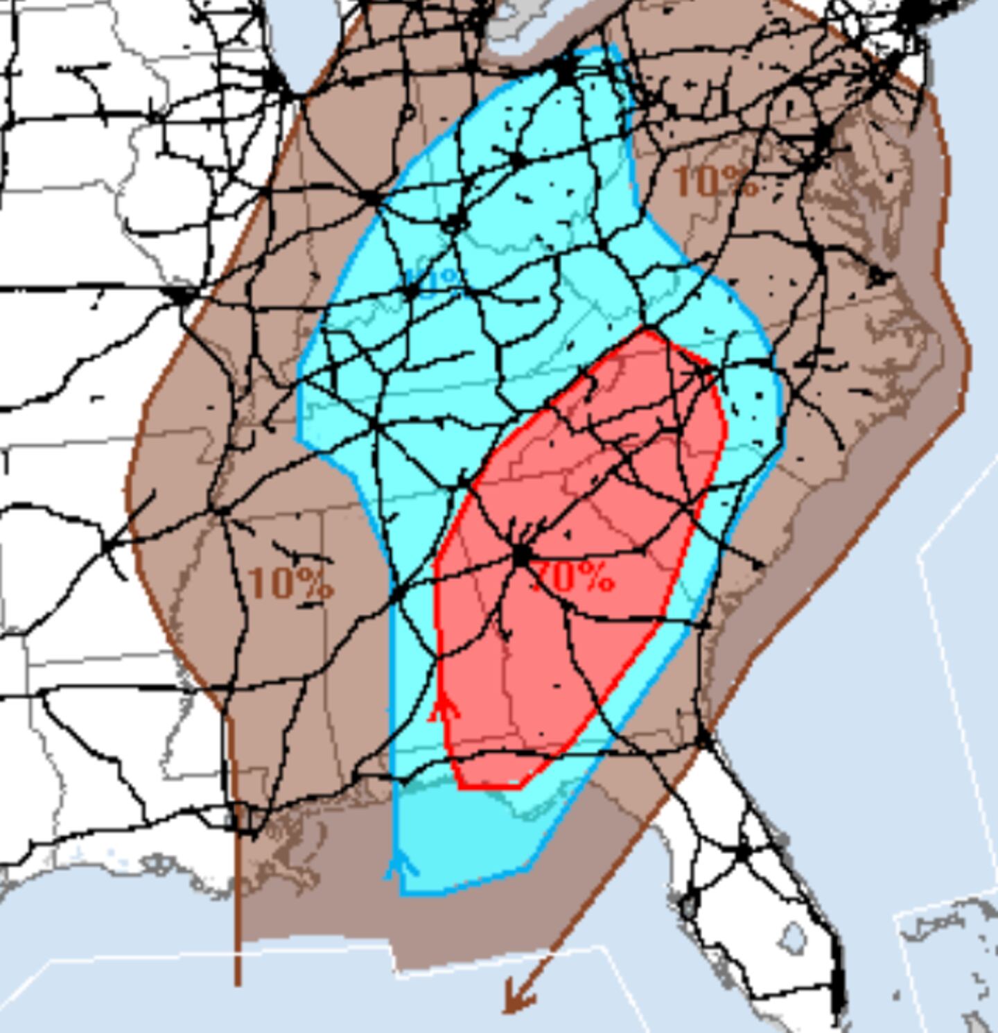
In much of Metro Atlanta you can see the damaging thunderstorm risk is 4/5 in map above. Don’t get too hung up on the categories or the locations on the map. The science can not do backyard forecasts for individual thunderstorms or tornadoes.
8PM-MIDNIGHT ‘ESTIMATE” OF MOST WIDESPREAD THUNDERSTORMS:
ESTIMATE MIDNIGHT-8AM:
The severe weather risk highest sometime between 11pm and 2am give or take a couple hours.
Thunderstorms could move unusually fast at speeds up to 70 mph so it can “come up a cloud” on you in a hurry with little or no advance warning.
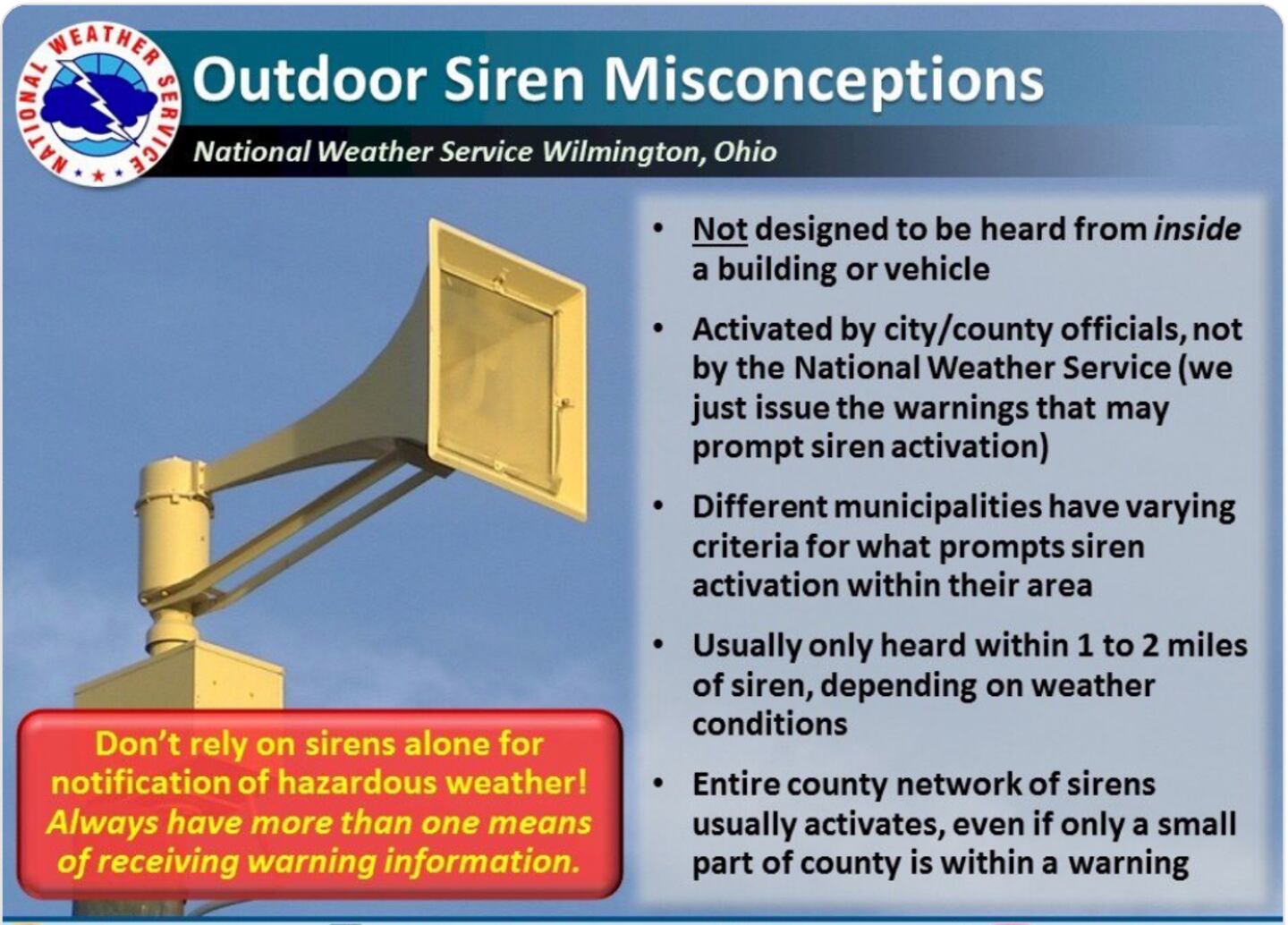
Be able to get warnings even if you are asleep (weather radio, our free phone APP from wsbradio.com, WSB Radio 95.5 etc). Nothing wrong with sleeping in the basement or the main floor instead of upstairs for one night. 95.5 WSB Radio Free APP here. Do Not rely on sirens.
For more follow me on Twitter @MellishMeterWSB.


