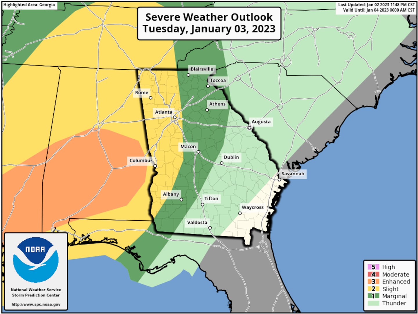
Severe thunderstorms are in the forecast for the Deep South this evening, and unfortunately, the timing is such that the storms will remain rather strong as they approach Metro Atlanta.
Warm and humid air is in place over North Georgia, which are favorable for thunderstorms to develop. Scattered storms will become widespread through the evening commute and continuing through the overnight hours.
Track the storms with our interactive radar below.
Timing Out the Storms
Heavy rain will be widespread this evening, with thunderstorms rolling through North Georgia through the overnight hours. The animation below illustrates the Futurecast Radar for Tuesday evening through Wednesday morning.
Heavy rain and thunderstorms will continue to move through Metro Atlanta early Wednesday morning before clearing out of the region by 12pm Wednesday afternoon.
Impacts From the Storms
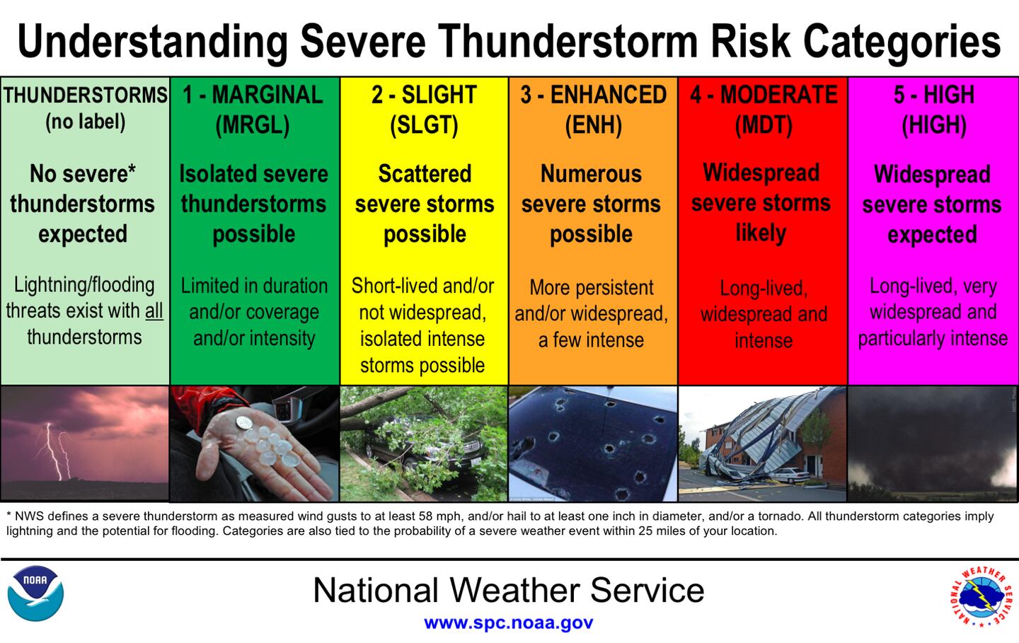
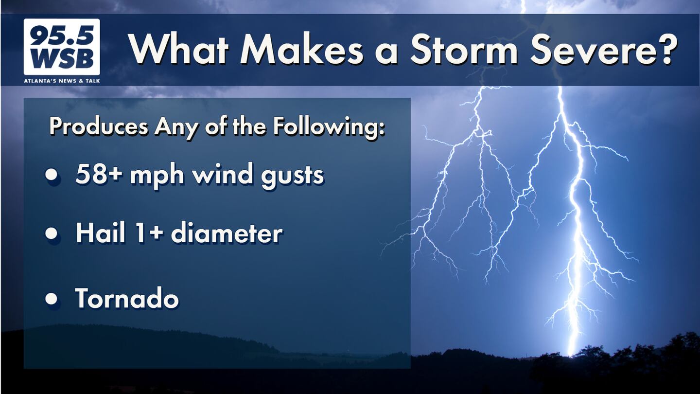
A severe thunderstorm is defined as a storm that produces damaging wind gusts of 58 mph or greater, 1 inch diameter hail or greater, and or a tornado.
Through Wednesday morning, the main impacts to Metro Atlanta will be damaging wind gusts as high as 58 mph or greater.
This is strong enough to knock down trees and powerlines, causing power outages and potentially structural damage. Keep your cellphone and tablets charged in the event of a power outage, that way you can continue to stream updates on 95.5 WSB.
Heavy rain will also be an issue with as much as 1 to 4 inches of rainfall possible through Wednesday morning. Flash flooding may be an issue for low-lying areas. Travel carefully, and remember -- never attempt to drive through floodwaters! You may stall out your engine or worse, the floodwaters may sweep your vehicle away.
Share Your Storm Reports With Me!
Facebook: Christina Edwards WSB
Twitter: @ChristinaWSBwx
©2022 Cox Media Group


